|
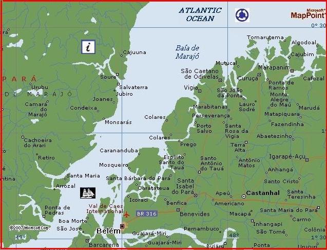
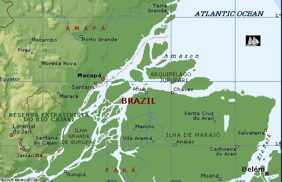
Port of Belem Brazil LAT: 01 27 S LON: 48 30 W
Balem of Brazil, ujście Amazonki
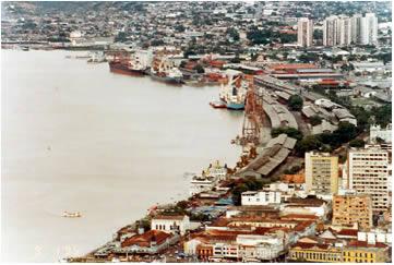
Strategically placed on the Amazon river estuary close to the mouth of the mighty Rio Tocantins, BELÉM was founded by the Portuguese in 1616 as the City of Our Lady of Bethlehem (Belém). Its original role was to protect the river mouth and establish the Portuguese claim to the region, but it rapidly became established as an Indian slaving port and a source of cacao and spices from the Amazon. Such was the devastation of the local population, however, that by the mid-eighteenth century a royal decree was issued in Portugal to encourage its growth: every white man who married an Indian woman would receive “one axe, two scissors, some cloth, clothes, two cows and two bushels of seed”. Despite the decree, a shrinking labour force and, in the 1780s, the threat of attack by a large contingent of Munduruku Indians meant that Belém was deep in decline before the end of the century. In the nineteenth century, it sank still further, as the centre of the nation’s bloodiest rebellion, before the town experienced an extraordinary revival as the most prosperous beneficiary of the Amazon rubber boom. By the end of the nineteenth century, Belém was a very rich town, accounting for close to half of all Brazil’s rubber exports. At this time rubber was being collected from every corner of the Amazon. As a result of the boom, thousands of poor people moved into Belém from the Northeast, bringing with them new cultural inputs such as music and dance, and, of course, the candomblé and macumba Afro-Brazilian religions. After the crash of 1914, the city suffered another disastrous decline – but it kept afloat, just about, on the back of Brazil nuts and the lumber industry. The wealth generated by the rubber boom is still evident in the shape of the modern city, whose elegant central avenues lead from the luxuriant Praça da República down to the port, past a historical sector which is replete with Portuguese colonial architecture. It’s a friendly city with a Parisian feel and a surprisingly modern skyline. Always warm and often hot (and often wet, too), the climate is generally very pleasant, with an average temperature of 25°C. Belém remains the economic centre of the North, and the chief port for the Amazon.
News for Belem, Brazil |
||||||||||||||||||